Past projects
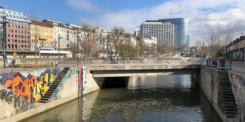
BLUEMAP: Map-based citizen knowledge on the use and development of Viennese blue spaces
Soundception

WENDY

CURB – The COVID-19 pandemic as a disruptive force for urbanization

Transformative Cities: Coupling citizen-inspired geospatial and transformative governance methods to promote carbon neutral and climate resilient cities by 2035

Assessing the diversity and evenness of ecosystem services as perceived by residents using participatory mapping

German-Armenian Network on the Advancement of Public Participation GIS for Ecosystem Services as a Means for Biodiversity Conservation and Sustainable Development (GAtES)
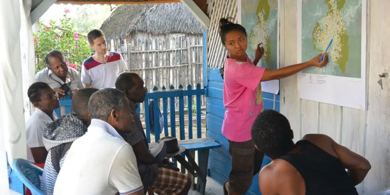
PLUMALA – Participatory land-use modelling to accelerate sustainable transformation applying a landscape approach

ECOPOTENTIAL
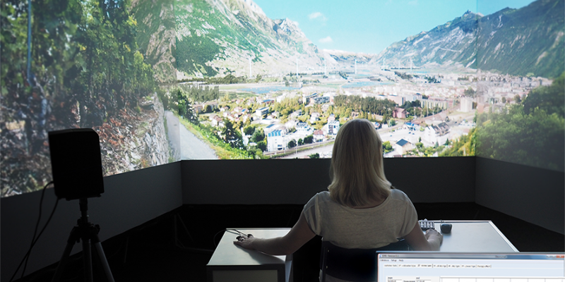
ENERGYSCAPE – Recommendations for Landscape Development through Renewable Energy Infrastructures in Switzerland

3D DSS – 3D Decision Support System for Power Transmission Line Planning

landscapes under increasing globalization

GrVis – Communicating and deliberating services of riverine zones effectively

ESMERALDA – Enhancing ecosystem services mapping for policy and decision making

Further Developments for Agricultural Planning (LP+)

NatCap – Assessing Singapore’s Natural Capital

ValPar.CH – Values of the ecological infrastructure in Swiss parks

PALM 2.0 – Intercommunal potential analysis of the resource soil for sustainable land management

Polisol – Policy Instruments for Sustainable Soil and Land Use Management and their Acceptance
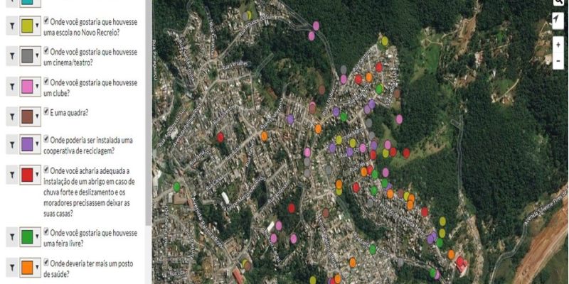
Participatory Geographic Information System (PGIS) implementation in the socioenvironmental governance of the macrometropolitan area of São Paulo, Brazil

A methodological framework for analysis of participatory mapping data
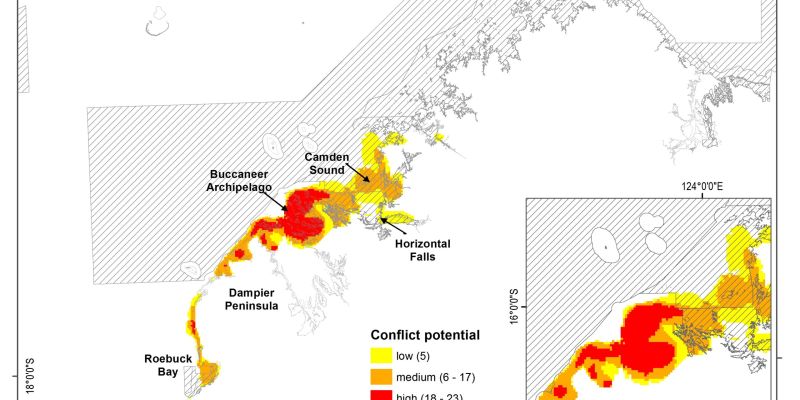
Social values and aspirations for coastal waters of the Kimberley
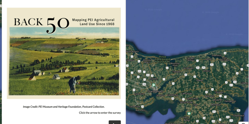
The Back 50 Project: Mapping Rural Land Use Change in PEI

Exploring Access to Nature Play in Urban Parks: Resilience, Sustainability, and Early Childhood

Landscape valorisation model as a tool for assessing directions of socio-economic development of the municipality themunicipality
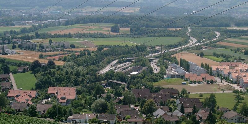
Restorative potential of green spaces in noise-polluted environments (RESTORE)

An Uncontrollable Factor? The Role of Social Media in Urban Planning
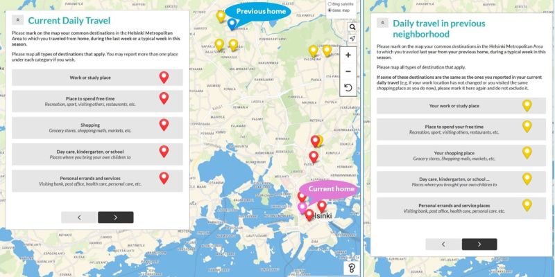
Urban Daily Life and Travel Study
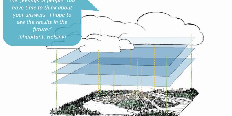
SoftGIS/PPGIS development

iResponse

Sosioecological tools for the planning of Kainuu tourism

Everyday Urbanity

Reshaping the planning process using local experiences: Utilising PPGIS in participatory urban planning

Urban Happiness – the eco-social sustainability of urban environment

They’ll never walk alone? The multiple settings of children’s active transportation and independent mobility

Mapping cultural ecosystem services, recreational routes, and disservices of urban forests in Germany’s South West
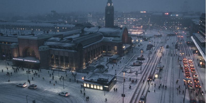
Health promoting urban environment (PLAN-H)
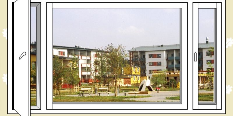
Perceived safety of Muotiala neighbourhood with CPTED planning
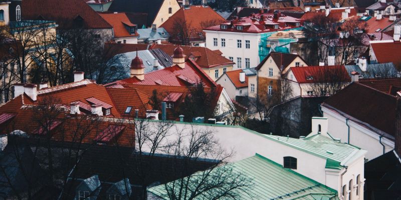
FINEST – smart-city Center of Excellence
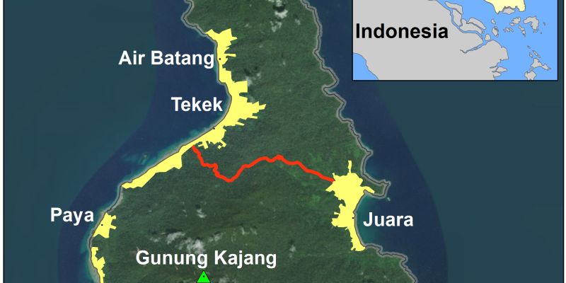
Rethinking tourism conflict potential within and between groups using participatory mapping

SINCERE – PMAP

Children as urbanites in Helsinki and Tokyo

Mapping for flood resilience with communities in Dar es Salaam city Tanzania

ENJUSTESS – Access, equity and participation in the use and management of aquatic environments in the Helsinki region

Participatory mapping with experts and local communities for integrated coastal and marine spatial planning in Zanzibar Islands, Tanzania
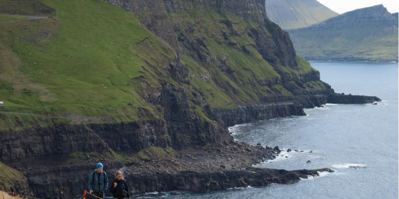
Identifying and assessing the potential for conflict between landscape values and development preferences on the Faroe Islands
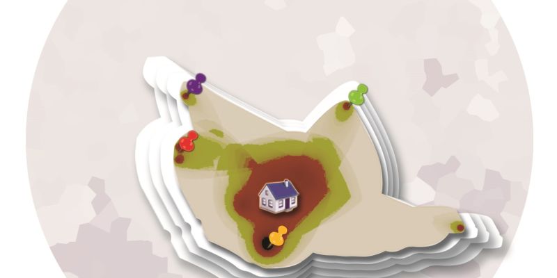
Spatial units of analysis: are there better ways? (Doctoral dissertation)
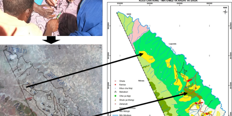
Participatory mapping methodology for official village land use planning in Tanzania

Bluetrans – Ocean health in transition

CO-CARBON: Envisioning carbon-smart and just urban green infrastructure
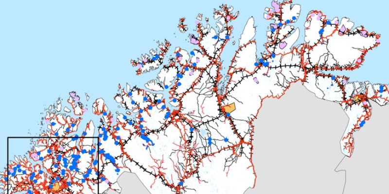
IndKnow – Integration of Indigenous knowledge systems into mapping, planning and environmental decision making
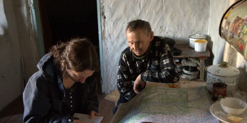
CONNECT- participatory mapping of land use and ecosystem services prioritisations in the Arctic
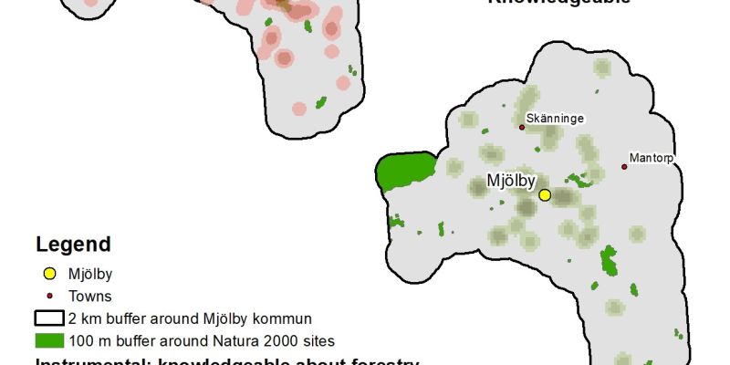
Mapping landscape values and self-reported knowledge about natural resource management in Sweden

Mapping values for urban green space in New South Wales, Australia
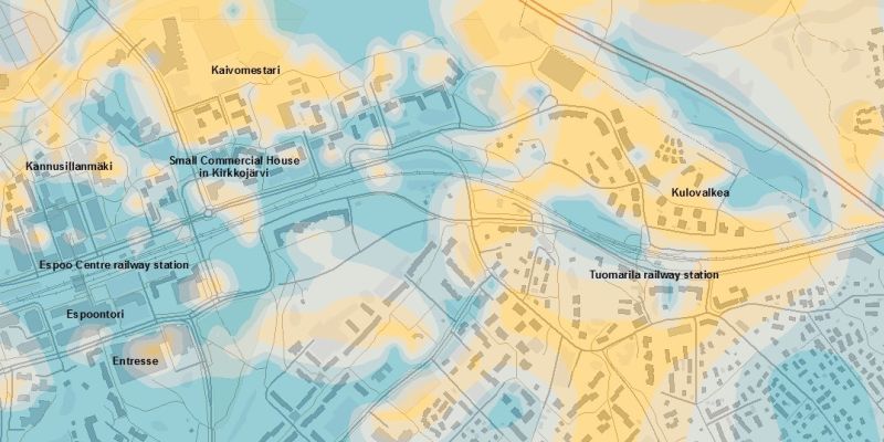
Perceived safety of a retrofit neighbourhood
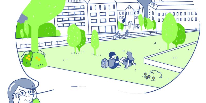
ActivAGE – Supportive environments for active ageing

Hupmobile – mapping urban mobility lifestyles

Participatory mapping of landscape service indicators in rural communities of Zanzibar islands, Tanzania

FREERIDE – Are there free tickets? Children’s independence and equality in mobility and physical activity following a free bus ride experiment in the city of Mikkeli

Sustainability, scale relations and structure-function-benefit chains in the landscape systems of the Tanzanian Southern Highlands (SUSLAND)
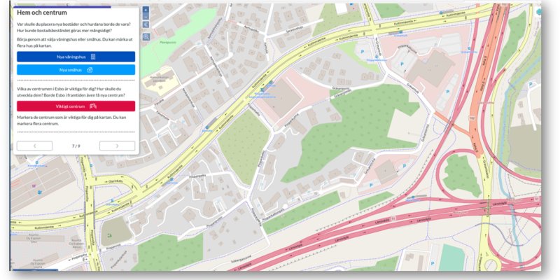
NordGreen: Participatory mapping in Espoo, Finland

Open participatory mapping data

Mapping perceived ecosystem service benefits in multifunctional landscapes across Europe
GreenPlace – 3D PPGIS approaches in urban green area planning

A multi-sensory participatory mapping tool for smarter and greener cities
