Contrasting Day and Night: A PPGIS Mapping of Cultural Ecosystem Services in Beijing’s Urban Parks
Project description
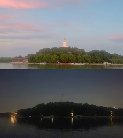
This research project addresses a critical gap in urban ecological planning by investigating the underexplored temporal dynamics of Cultural Ecosystem Services (CES) in public parks. While urban parks are vital for well-being, the rise of night-time economies and extended park hours necessitates an understanding of how public perceptions and valuations of CES—such as aesthetics, recreation, and sense of place—shift between day and night. This study posits that a systematic analysis of these diurnal-nocturnal variations is essential for designing inclusive, safe, and vibrant 24-hour urban green spaces.
To this end, the project employs a spatially explicit, mixed-methods approach centered on Public Participation GIS (PPGIS). It is being conducted across a stratified sample of ten major parks in central Beijing. By integrating PPGIS mapping, questionnaire surveys, and semi-structured interviews, the research will spatially visualize and statistically analyze the contrasting patterns of CES provision and disservices (e.g., perceived safety, lighting issues) across two temporal regimes. The findings aim to yield a novel theoretical framework for temporal CES assessment and provide evidence-based, actionable insights for urban planners and park managers to optimize nighttime environmental design, activity programming, and management strategies.