BLUEMAP: Map-based citizen knowledge on the use and development of Viennese blue spaces
Project description
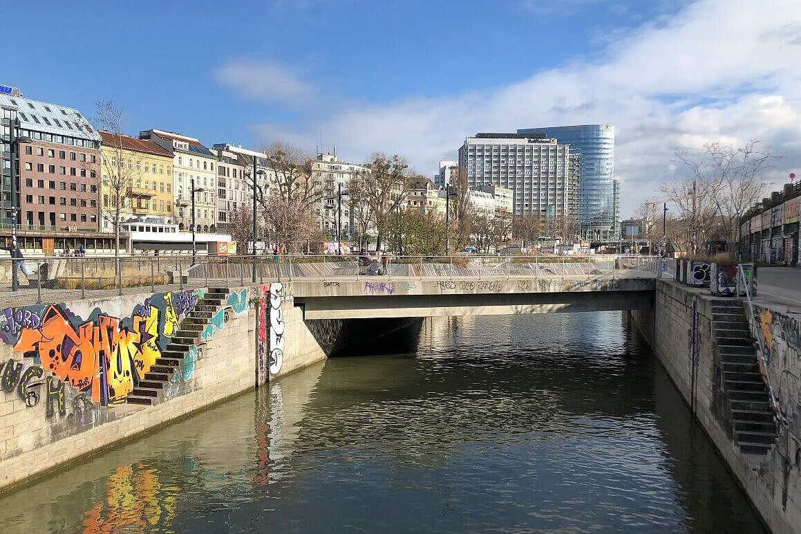
Urban blue infrastructure—rivers, lakes, fountains, water playgrounds, and other water elements—is increasingly recognized for its role in supporting health, well-being, and quality of life in cities. Beyond their ecological functions, these spaces provide cultural ecosystem services by offering opportunities for recreation, social interaction, and place attachment. Despite these benefits, urban blue infrastructure is often underprioritized in planning. There is a growing need to better understand its functions within urban systems and to more systematically integrate it into local planning and design. This requires a transdisciplinary approach that brings together expertise and knowledge from multiple viewpoints, including academic and practice-oriented actors as well as citizens as the experts of their day-to-day environments. The project piloted and tested digital participatory mapping tools through real-life citizen engagement processes in Vienna, focusing on planning issues related to urban blue infrastructure.