BioProtect – WP4 Addressing pressures from human activities on marine biodiversity
Project description
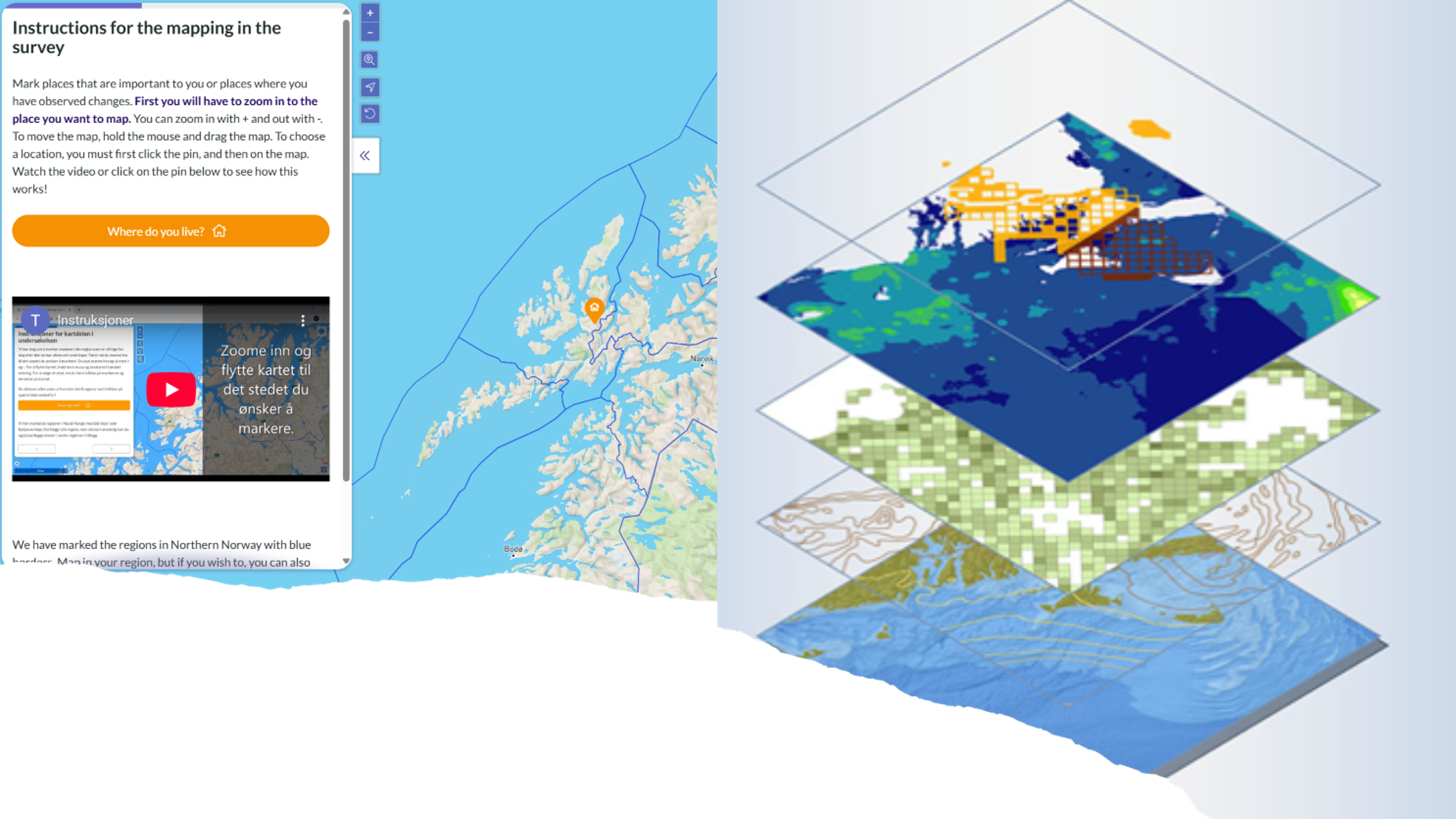
Participatory mapping of values, concerns, and preferences of coastal communities across European sea basins is combined with biodiversity pressure data for socio-ecological analysis to enhance ecosystem-based marine spatial planning. In Norway, Iceland, and Ireland, participatory mapping is conducted to explore how adaptive measures and pathways can be developed and implemented to mitigate risks to biological diversity. To support this, we are developing a PPGIS Analyzer to accelerate the creation of advanced spatial maps, which will be tested by partners in other countries. Ultimately, these maps will be integrated into the BioProtect Marine Spatial Planner for collaborative mapping with stakeholders in real-world planning scenarios.